How to regroup after a landslide evacuation
Make a landslide evacuation communication plan with official routes, warning signs, a safe reunion point, and concise family updates.
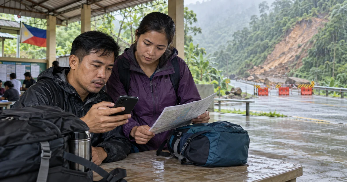
A landslide can divide a household without warning. One person may be at work below a closed mountain road, another at home near the slope, and a child already moved to a school evacuation site. In that moment, “meet at home” may be unsafe or impossible.
A landslide evacuation communication plan separates two decisions that people often mix together: authorities decide which areas and routes are safe; the family decides how to report status and reunite at an approved location.
Know the signs, but do not wait for all of them
Some landslides happen suddenly. Others show changes before movement. The U.S. Geological Survey lists possible signs including new cracks or bulges in ground and roads, leaning trees or utility poles, new water flowing on a slope, sticking doors and windows, sudden changes in stream level, and unusual cracking, rumbling, or knocking sounds.
These clues do not turn a resident into a geologist. If you notice them, report them to local authorities and follow their instructions. If a slide is occurring, get away only when it is safe to do so; do not cross moving debris, enter a closed zone, or approach the slope to record video. Conditions vary, so immediate protective actions must come from the authorities and responders managing the incident.
Use hazard information before heavy rain arrives
The Philippine Mines and Geosciences Bureau advises local governments to use detailed geohazard maps and HazardHunterPH when heavy rainfall may trigger landslides. A June 2026 MGB Region VI advisory also notes that vulnerable roads and bridges may be closed and that pre-emptive evacuation may be needed.
Before the rainy season, ask the barangay or local disaster office:
- Whether the home, school, workplace, and usual roads are in mapped hazard areas
- Which alerts trigger pre-emptive evacuation
- Which routes and shelters the community will use
- How residents with limited mobility can request assistance
- Where road-closure and all-clear notices will be published
Save these answers on paper. An online map may be unavailable precisely when rain and power failures are most severe.
Give every person a destination and contact
Pick an official evacuation site as the primary reunion point, then name an exact staffed landmark inside it. Choose a second approved site on a different safe route. Never use a viewpoint, roadside shoulder, bridge, river channel, or location below a steep slope as a family meeting point.
Assign an out-of-area relative to receive check-ins when local calls are difficult. Each message should include:
- Name and
SAFE,NEED HELP, orMOVING - Current verified landmark
- Who is with the sender
- Official destination or instruction
- Time and battery level
For example: “SAFE - at West School evacuation desk with Bea - road to Barangay Hall closed - staying here - 10:32 AM - 43%.” A clear message prevents relatives from attempting a dangerous search based on an old location.
Treat closures as part of the hazard
Do not drive around a barrier or follow an unofficial shortcut because a map still shows the road. Rain can undermine pavement, and debris may arrive in more than one pulse. The USGS advises staying away from the slide area after an event because additional movement may occur. Damaged utility lines and flooding can create further hazards.
If separated family members reach different evacuation centers, they should remain at the safe sites and report their status. Reunion can wait. Ask shelter staff or local officials before travelling between locations, and record any transfer so relatives know which list or facility to check.
Where Nearby fits - and where it does not
After local officials identify a safe destination, Nearby can help invited family members coordinate around that location. Place the meetup pin on the staffed registration point, keep chat updates brief, and let each participant decide whether temporary location sharing is appropriate. One Android user starts the meetup; invited people can join from the app or a browser, including on iPhone.
Nearby cannot detect ground movement, interpret a geohazard map, judge whether a road is stable, or replace an evacuation order. A map marker may be delayed by poor signal or may appear on the wrong side of a road. Never treat the line toward a pin as a recommended route.
If somebody is unaccounted for, give responders their last confirmed message, destination, clothing, transport, and relevant needs. Do not organize an informal search inside the hazard area through a meetup app.
The most protective family decision may be to remain separated temporarily. A short verified status from two safe shelters is better than a hurried reunion across an unstable slope.
Use Nearby to coordinate at an approved safe location - not to navigate through a landslide zone.
Common questions
What warning signs can indicate possible landslide movement?
Possible signs include new ground cracks or bulges, leaning trees or poles, unusual water appearing on a slope, sudden stream changes, and cracking, rumbling, or knocking sounds. Report signs to local authorities and follow their directions.
Is it safe to return after the first landslide stops?
Not automatically. Additional slides, unstable ground, flooding, damaged roads, and broken utilities may remain. Stay outside the affected area until authorities say it is safe to return.
Can a Nearby pin show a safe route around a landslide?
No. Nearby coordinates an invited group around a point, but it does not assess slopes, road conditions, geohazards, or evacuation routes. Use official maps, closures, and local instructions.