Staying together on a group hike, when phones will not help
Hiking groups split by pace, not by accident. The system that keeps everyone safe when there is no signal and no app can save you.
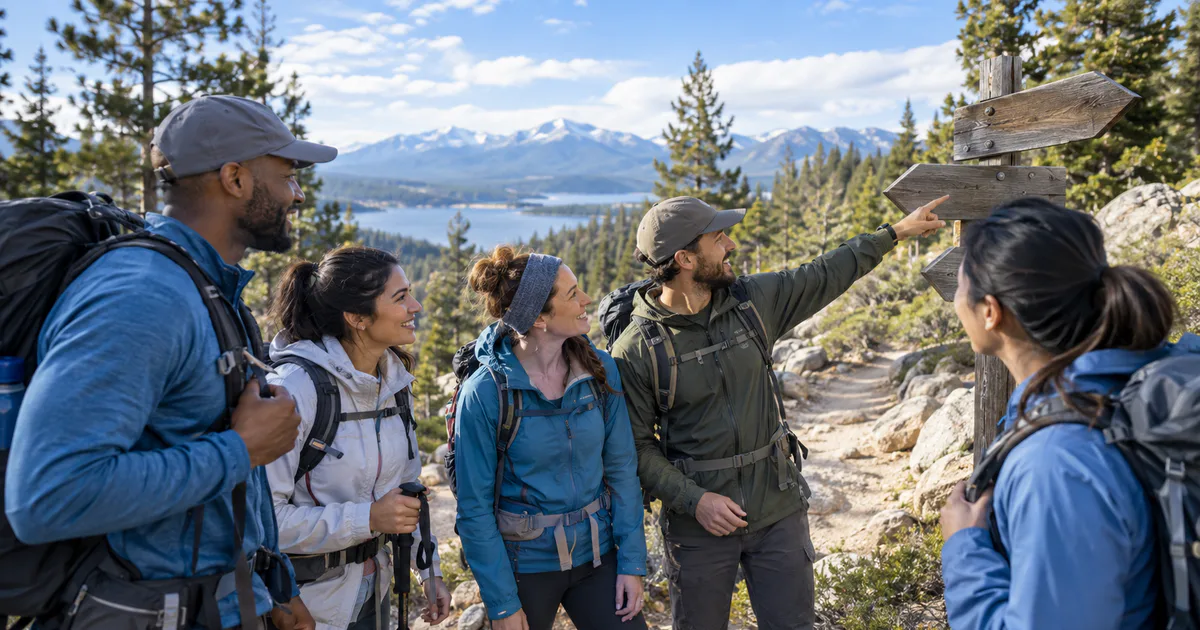
Hiking groups do not split up because someone wanders off. They split because people walk at different speeds, and over two hours a small pace difference becomes a kilometre and a ridge.
This is also the one situation in this whole series where I would tell you plainly: do not plan around your phone. Signal in hills, valleys, and forests is unreliable by nature, and a live map needs a connection to upload anything. Everything below works without one.
The lead and the back marker
The oldest system and still the best.
- The lead sets the route and never gets so far ahead that the group is out of sight. Ideally one of the stronger walkers, deliberately held back.
- The back marker - sometimes called the sweep or tail-end - is experienced and never overtakes the slowest walker. Their job is that nobody is behind them, ever.
Everyone else stays between the two. It sounds obvious and it is astonishingly effective, because it converts “is everyone here?” into a question one person owns.
Regroup at every junction
The rule that prevents nearly all separations: whoever is in front stops at every junction, stile, gate, or path split and waits for everyone.
Groups get lost at decision points, not on long straight stretches. If nobody passes a junction until the whole group is there, nobody takes the wrong branch.
Before you leave the car park
- Everyone knows the route, not just the leader. Share it, and have at least two people with it offline.
- Download the offline map and carry a paper map and compass if the route warrants it. A phone map that needs data is not a map.
- Agree a turnaround time. “If we are not at the summit by 1pm, we turn around regardless.” This is the single most important safety decision and it must be made before anyone is tired and invested.
- Agree the separation rule, out loud. Usually: if you are alone and unsure, stop and wait. A stationary person is found; a wandering person is chased.
- Tell someone not on the walk where you are going and when you expect to be back.
- Check the weather and the daylight, and add an hour of contingency.
What phones are genuinely good for out here
- Your own position on an offline map. GPS works without signal; it is the sharing that needs a connection. This alone prevents most navigation errors.
- Emergency calls, which can sometimes connect on another network when your own has nothing.
- Photos of the trailhead board and the route, which cost nothing and are always available.
- A whistle, which is not a phone, and is better than one. Six blasts, pause, repeat.
Carry a power bank, and keep the phone warm - cold drains batteries fast, and a dead phone is worse than no plan at all.
Where Nearby fits, honestly
We build Nearby, and this is the article where I am going to talk it down.
Nearby is a live map for meetups. On a hill with no data, it cannot show your group where you are, because nothing can. If you need genuine off-grid tracking for serious terrain, the tools for that are satellite messengers and personal locator beacons, not a meetup app.
Where it is actually useful for a hiking day is the logistics around the walk: several cars converging on a trailhead that is hard to describe, a group splitting between two car parks, or a pub regroup afterwards. Drop the pin on the trailhead, share the link, and everyone - including whoever has an iPhone and no app - can see exactly where to drive to. That part is annoying without a shared pin and easy with one.
On the walk itself, the lead, the back marker, the junction rule, and the turnaround time are the system. Use them.
The hike checklist
- Lead walker and back marker, named before you set off.
- Regroup at every junction.
- Offline map downloaded, route shared with at least two people.
- Turnaround time agreed and honoured.
- Separation rule agreed - stop and wait.
- Someone at home knows the plan.
Nearby is free on Google Play. Useful for the trailhead and the pub afterwards; the hill itself needs a map and a plan.
Common questions
How do hiking groups avoid splitting up?
With a lead and a back marker. The fastest walker leads and never goes out of sight of the group, and an experienced walker takes the back and never overtakes the slowest person. Everyone stays between them, and the group regroups at every junction.
Do location sharing apps work while hiking?
Often not. Uploading a position needs a data connection, and hills, valleys and forests are exactly where there is none. Your phone's own GPS still works offline for your own position on a downloaded map, but other people will not see you. Plan as though nobody can see anybody.
What should a hiking group do if someone gets separated?
Agree the rule before you set off - usually, stop where you are and wait, rather than trying to find your way back. A stationary person is far easier to find. Pair that with a fixed regroup point and a turnaround time, and nobody has to improvise.